
Critical Areas Ordinance Update
On Dec. 9, 2024, the City Council voted to adopt recommended revisions to the Critical Areas Ordinance. For more information, visit https://www.cityofvancouver.us/environment
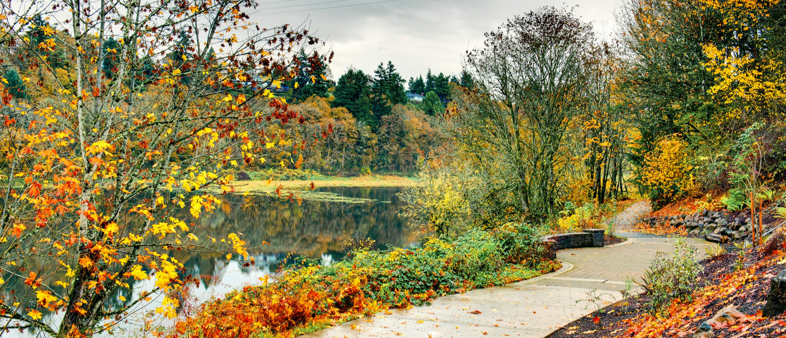
Critical Areas act as valuable assets to our community, through enhancing environmental quality, providing critical ecological functions, and protecting the community and public and private property from threats resulting from natural hazards. Some beneficial functions that critical areas provide include water quality protection and enhancement; fish and wildlife habitats; flood storage, conveyance, and attenuation; groundwater recharge and discharge; protection of drinking water quality; and erosion and sediment control. Once the functions of existing critical areas are depleted, attempting to restore them is often costly and sometimes impossible. Learn more about how Critical Areas are regulated in the State of Washington.
The City of Vancouver is updating its Critical Areas Ordinance (CAO), which is located in Chapters 14.26 and 20.740 of the Vancouver Municipal Code. A draft of the CAO was recently completed using Best Available Science (BAS) and updated guidance from State agencies. The findings of this review are included in the draft BAS Report.
Final Ordinance Adopted
On December 9, City Council voted 6-1 to adopt staff's recommended revisions to the Critical Areas Ordinance. We sincerely thank everyone that was engaged and involved in the adoption of the revised rules, and for the time you spent engaging with us in the update process. The final set of rules can be found below:
Critical Areas Ordinance 20.740
What updates are included in the draft ordinance?
The proposed updates to the City's Critical Areas Ordinance (CAO) focus on technical adjustments to align with updated state agency guidance and recent scientific developments. Key changes include modifications to definitions and various sections to improve clarity and compliance with new standards. Significant updates include increased distances for wetland buffers and riparian management areas to better protect ecological functions, reflecting the Best Available Science. These updates aim to enhance environmental quality, prevent natural hazards, and ensure no net loss of critical area functions.
The ordinance will impact how Critical Area permits are processed, with increased protections and site-specific management practices where necessary. The updates generally affect the following four categories in the Critical Areas Ordinance.
- Fish and Wildlife Habitat Conservation Areas
- Riparian Areas
- Priority Oregon White Oak Habitat
- Wetlands
- Geologic Hazard Areas
- Geologically hazardous areas (e.g., landslides, erosion hazards, and earthquake hazards)
The Critical Areas Ordinance also regulates the following areas, which are being addressed separately:
- Minor updates to regulations for floodplains and frequently flooded areas were completed by the City in Late 2023.
- Updates to several definitions and defined terms.
- Modifications to the National Flood Insurance Variance process for Historic Structures in a frequently flooded area.
- Adding language to incorporate future updates to Flood Insurance Rate Maps by reference.
- Regulations for Critical Aquifer Recharge Areas (CARA's) (areas that are vulnerable to impacting drinking water in aquifers) will be undertaken as part of a separate process.
Where are Critical Areas Located Throughout the City?
All of the Critical Areas previously mentioned exist in a variety of different areas throughout the City. A series of maps (under the maps tab to the right) show the general location of critical areas in Vancouver based on available information from state and federal agencies but are not site-specific delineations. If you propose development in or near a critical area, you would need to apply for a Critical Areas Permit and formally delineate conditions on site to confirm exact locations.
What These Changes Mean For You.
These changes aim to better protect our community's valuable natural areas while also providing clearer and more flexible guidelines for property owners and developers. By updating requirements to comply with Best Available Science, the ordinance ensures that we are using the best measures available to protect our environment. The new rules also make the approval process more transparent and enforceable, ensuring that any development in sensitive areas is done responsibly and sustainably.
If you have questions or need to apply for permits, it's now easier to understand what is required and what activities are permitted in protected areas. Overall, these updates help balance the need for development with the imperative to protect our natural resources for future generations.
Who's Listening
-
Contact Email

Email [email protected]

Maps
-
 Critical Aquifer Recharge Areas Maps.pdf (10.2 MB) (pdf)
-
Frequently Flooded Areas Maps.pdf (11.2 MB) (pdf)
-
Fish and Wildlife Habitat Conservation Areas Maps (11.3 MB) (pdf)
-
Geohazards Areas Maps.pdf (12 MB) (pdf)
-
Ground Shaking Amplification (NERHP Site Classification) Maps (10.2 MB) (pdf)
-
Site Potential Tree Height Maps.pdf (19 MB) (pdf)
-
Wetlands Maps (14.8 MB) (pdf)
-
Oregon White Oak Habitat (11.6 MB) (pdf)