
McGillivray Boulevard Safety and Mobility Project
Project Overview
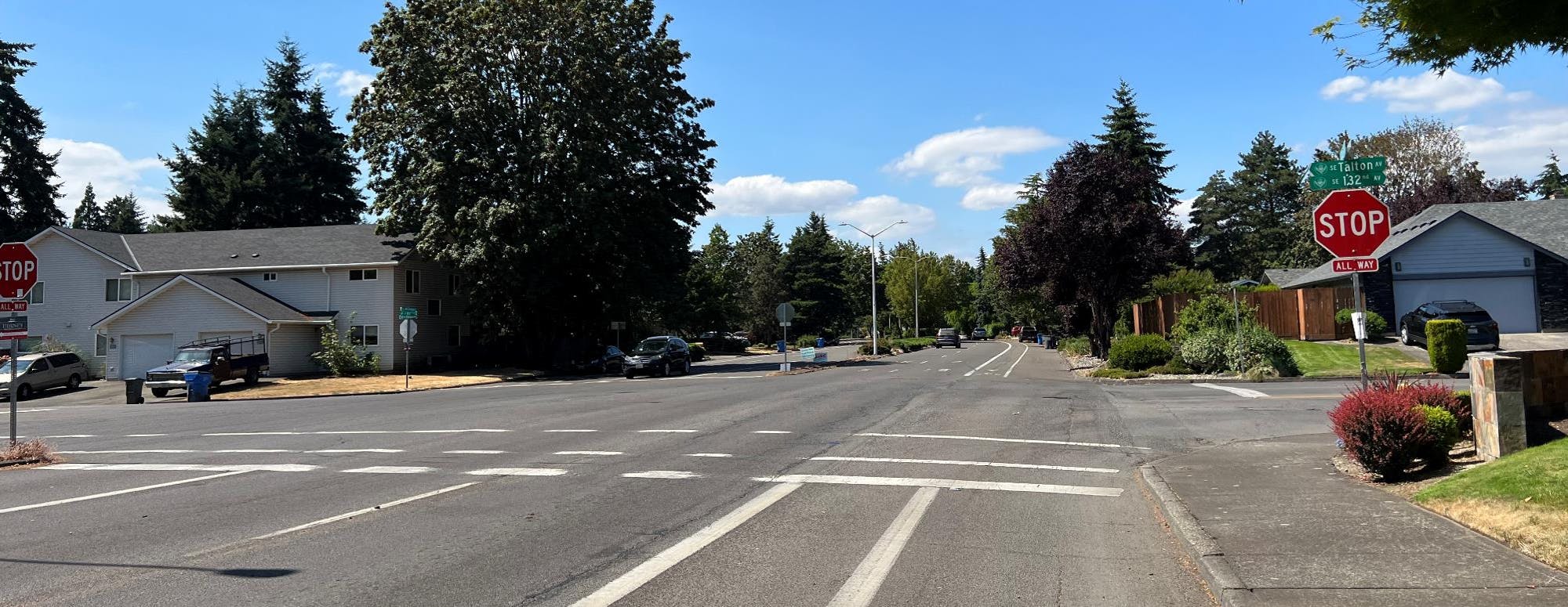
The McGillivray Boulevard Safety and Mobility Project studied ways to make McGillivray Boulevard safer and more comfortable for everyone to travel between SE Chkalov Drive/SE 7th Street and SE 164th Avenue. The Safety and Mobility Project evaluated how McGillivray Boulevard could better meet the needs of people walking, biking, using a mobility device, and driving. The Project explored opportunities and examined tradeoffs to improve safety on the corridor ahead of upcoming pavement work.
Where are we now?
The McGillivray Boulevard Safety and Mobility project is in Phase 3: Design Improvements. During this phase the Project team will further develop the recommended final design Option 1: Curbside Mobility Lane.
Phase 2 began with development of the project goals (see Project Goals below) which were developed based on community input and technical analysis completed during Phase 1 of the Safety & Mobility Project. For more information on the community engagement in Phase 1, please see the Phase 1 Community Engagement Summary.
Based on work completed during Phase 1, the Project Team drafted several design concepts, which were evaluated based on how well the elements align with the project goals. Over the summer of 2023, the Project Team held a series of community conversations to gather input on the initial design options. Community members were invited to participate through paper mailings, social media posts, and canvassing on the corridor. 50 community members attended these small group conversations. Based on the feedback gathered from community members and the Transportation and Mobility Commission, the Project Team refined two design options to better align with the project goals and feedback. For more information on what we heard during the community conversations, see the Phase 2 Community Engagement Summary.
Project Goals
Goal #1: Lower Vehicle Speeds
Lower vehicle travel speeds on the corridor to improve safety for all users regardless of how they travel and to reduce cut-through traffic to support the local road context.
Goal #2: Improve Safety and Comfort
Make the corridor safe and comfortable for people of all ages and abilities to walk, bike, roll, use small mobility devices, and access transit.
Goal #3: Improve Intersections & Crossings
Improve safety and comfort at intersections and crossings on the corridor.
Review the Questions and Answers document to learn more about the Complete Streets Program, the McGillivray Boulevard Safety and Mobility Project, and its benefits and impacts.
Design Option 1: Curbside Mobility Lane
Design Option 1, the Curbside Mobility Lane, would repurpose one vehicle travel lane in each direction to create a 10-foot mobility lane located next to the curb, as shown in the image below. In areas where there are no sidewalks, this space would be intended for use by people walking, riding a bicycle, or using other small mobility devices. Where sidewalks exist today, people walking would continue to use the sidewalks. Watch this video explaining Design Option 1: Curbside Mobility Lane.

Additional design features to improve safety and comfort include:
- A painted buffer with vertical separation, where possible, to enhance separation between the mobility lane and vehicle travel lane.
- Enhance visibility in the mobility lane and at intersections with the consolidation of parking and allow for the use of vertical separation in the buffer.
- Enhanced treatments at intersections including green striping to indicate where people on bicycles or small mobility devices making left-turns or traveling through the intersection should be on the roadway.
- High-visibility cross-walk markings to improve visibility of people crossing the street.
- Painted curb extensions to narrow crossing distances at large intersections such as SE 136th Avenue and Village Loop Drive.
Primary Benefits of Design Option 1:
- Physically separates space for the mobility lane from the vehicle travel lane.
- Increases comfort for people using the mobility lane with lower level of traffic stress.
- Perceived narrowing of the roadway helps to lower vehicle speeds.
Challenges to implement Design Option 1:
- Driveway access causes breaks in the vertical separation in the buffer and conflicts between mobility lane users and vehicles.
- Concern from community bicyclists about being trapped in mobility lane by parked vehicles.
- Breaks in the buffer could result in vehicles parking or driving in mobility lane.
- May require restricting U-Turns at certain intersections.
For more information on how Design Option 1: Curbside Mobility Lane could function at intersections along the corridor, see two draft intersection concept designs for SE 136th Ave and SE Village Loop.
Design Option 2: Center Running Mobility Lane
This design option separates all modes of travel. To achieve this, one vehicle travel lane is repurposed in each direction and space is provided for a mobility lane located next to the median and a walking lane located next to the curb where in location without sidewalks. The center running mobility lane would be intended for people riding bicycles or other small mobility devices, while people walking would use the walking lane or existing sidewalks. Watch this video explaining Design Option 2: Center Running Mobility Lane.

Additional design features to improve safety and comfort include:
- A painted buffer with vertical separation to enhance separation between the mobility lane and vehicle travel lane.
- A painted buffer with vertical separation, where possible, to enhance separation between the vehicle travel lane and the walking lane.
- Enhance visibility at intersections with the consolidation of parking and allow for the use of vertical separation in the buffer between the walking lane and vehicle travel lane.
- Enhanced treatments at intersections including green striping to indicate where people on bicycles or small mobility devices making left-turns or traveling through the intersection should be on the roadway.
- High-visibility cross-walk markings to improve visibility of people crossing the street.
- Curb extensions to narrow crossing distances at large intersections such as SE 136th Avenue and Village Loop Drive.
Primary Benefits of Design Option 2:
- Eliminates driveway conflict points with the mobility lane.
- Allows for continuous buffer separating the mobility lane and vehicle travel lane.
- Creates separate space for people walking and people using the mobility lane.
- Makes left-turns easier for people using the mobility lane.
Challenges to implement Design Option 2:
- User education will be needed for the new roadway configuration and may be confusing for people who don’t use the corridor regularly.
- Likely to require restricting U-turns at certain intersections.
- Right-turns for people using the mobility lane would be more challenging than current conditions.
For more information on how Design Option 2: Center Running Mobility Lane could function at intersections along the corridor, see two draft intersection concept designs for SE 136th Ave and SE Village Loop.
Project Documents
-
 McGillivray Boulevard Q and A (109 KB) (pdf)
-
Community Engagement Summary (English and Español) (667 KB) (pdf)
-
McGillivray Blvd Safety & Mobility - Phase 2 Engagement Summary (1.18 MB) (pdf)
-
McGillivray TMC Memo (661 KB) (pdf)
-
McGillivray TMC Presentation (2.37 MB) (pdf)
-
McGillivray Blvd Design Option 1 - SE 136th Ave.pdf (763 KB) (pdf)
-
McGillivray Blvd Design Option 1 - SE Village Loop.pdf (1.23 MB) (pdf)
-
McGillivray Blvd Design Option 2 - SE 136th Ave.pdf (1.02 MB) (pdf)
-
McGillivray Blvd Design Option 2 - SE Village Loop.pdf (1.02 MB) (pdf)
-
McGillivray Option 1 Curbisde Mobility Lane.mp4 (8.64 MB) (mp4)
-
McGillivray Option 2 Center Running Mobility Lane.mp4 (7.74 MB) (mp4)
-
McGillivray Blvd Community Engagement Phase 2 Touchpoint 2 Report (205 KB) (pdf)
-
McGillivray_Future_Conditions_Feb24.pdf (934 KB) (pdf)
